For a city where everyone enjoys being out and about.
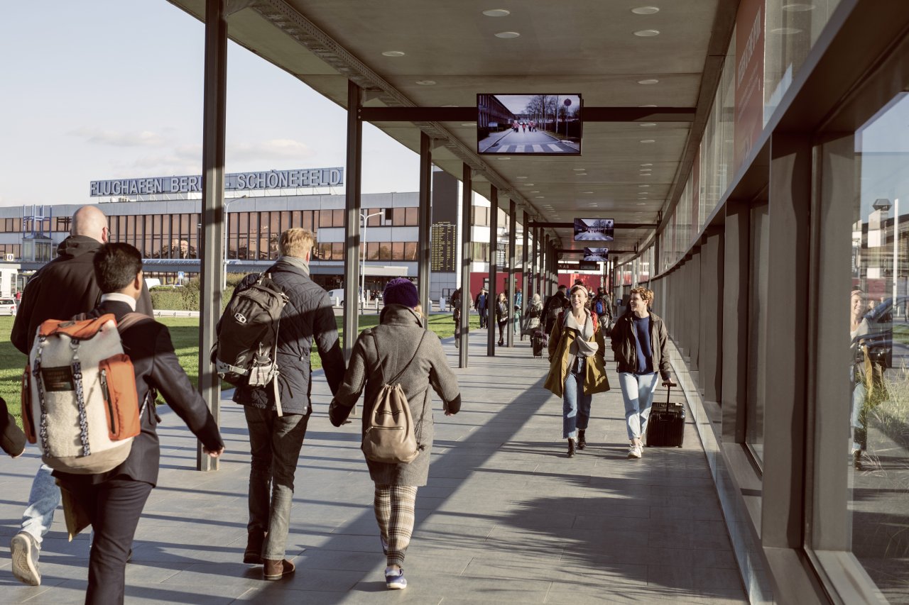
What would be better for our mobility? Less cars, more buses and trains? Shared taxis and self-driving cars? Or a lot of walking and some riding on e-scooters and e-bikes?
Maybe we shouldn’t think about new sustainable mobility concepts right away, but consider our wishes first. Then we would be able to answer questions regarding better mobility in a more human-oriented way. Then we would be able to plan mobility and traffic for the people in the city.
Tags Transport planning, public transport, multimodality, transport network, transport policy, mobility, urban transit, mobility planning, sustainability, CO2 consumption
From A to B and C
No traffic jams please
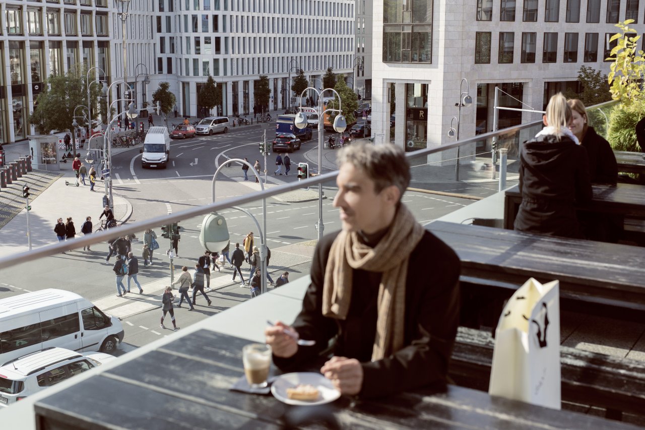
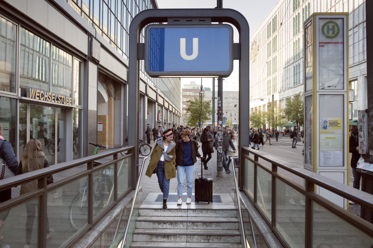
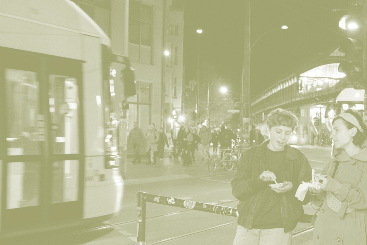
In any case, we’d prefer to stay relaxed while on the road. We’d prefer to not have to wait and always make good progress. To find the right connection even on the outskirts of town or on the last mile. To have a parking space in front of the door and ride in trains and buses without delays or being crammed in. To be able to move around town with a walker or a baby stroller without any barriers. To simply be out and about feeling safe and secure.

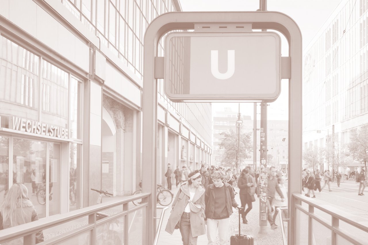
What makes us feel stressed in cities?
But that’s not the reality these days. In our cars, we are stuck in traffic. The bus does not arrive on time. The crosswalk signal does not stay green long enough for pedestrians to cross. The elevator is broken. Cyclists do not have their own lane. The air we breathe is polluted. Big construction sites cause a lot of noise. Travel time is stressful most of the time. And we want to change that.
We want to plan and design mobility for public spaces in a sustainable, accessible, fluent and multimodal way. With hardware, software and brain power for public and regional transport.
First you measure, then you know
Less stress = more comfort
For reliable mobility planning, cities and communities need a clear understanding of the status quo and a fact-based idea of what can be done.
How many people board at the town square day after day, how many change trains at the station and at which destination do they get off? Where do they come from and where do they go? When do they board, how long do they stay on board and what are they carrying with them? How often do they return, what other mobility services do they use? The DILAX sensor technology and analysis software is able to measure and evaluate all these aspects in a highly precise and reliable way.
This data helps our customers to get a better understanding of their own customers and to develop concepts fit for the future. Supported by our software, traffic planners and strategists can even simulate new routes and stops and generate usage forecasts.
Together we work on making mobility in urban areas more successful – no matter when, how and where we are going.
Some questions that DILAX can help you answer
- How sustainable can we plan mobility?
- What makes bus and train rides attractive for everyone?
- How well do my routes correspond to the journeys people take?
- How full or empty are my vehicles when my passengers travel in my network?
- What else is on board: luggage, dogs, baby strollers, walkers, bikes, scooters, big purchases?
- Do I need to provide different frequencies, a new route, a bigger fleet?
- Where can I charge my electrically powered public transport vehicles?
- What carbon footprint do my passengers leave?
- What connections do my passengers want and need?
- How comfortable are my passengers when they travel in my network?
- How many and what type of vehicles do I need to purchase in future?
- How many regulars do I have and where do they come from?
- Where do my passengers change?
- Where can I reach new target groups and what is the most attractive mobility service for them?
Use Cases
-
All aboard – the bus or train with a good seat for everyone
Passenger Comfort with DILAX
-
Turning timetables into reality
Fleet Management with DILAX
-
Passenger Flow with DILAX
Knowing who rides

-
Getting back on board public transport – with real-time occupancy information
Real-time occupancy information for buses and trains with DILAX Live Occupancy Monitoring